
Geography, History & Economy
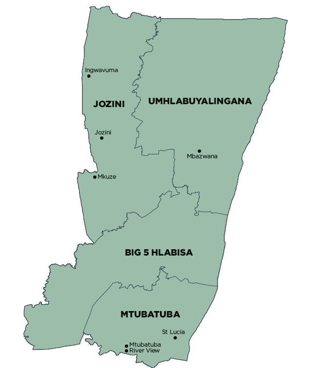
uMkhanyakude District Municipality comprises:
- Big 5 Hlabisa Local Municipality
- Jozini Local Municipality
- Mtubatuba Local Municipality
- uMhlabuyalingana Local Municipality
MDB code: DC27
Description: The uMkhanyakude District Municipality is a Category C municipality located along the coast in the far north of the KwaZulu-Natal Province. It shares its borders with Swaziland and Mozambique, as well as with the districts of Zululand and King Cetshwayo. It is the second-largest district in the province, and consists of the following four local municipalities: uMhlabuyalingana, Jozini, Big 5 Hlabisa and Mtubatuba.
‘uMkhanyakude’ refers to the Acacia Xanthophloea fever tree and means ‘that shows light from afar’. The name reflects both the uniqueness of its people and their hospitality, as well as the biodiversity and conservation history that the region is very proud of. The Isimangaliso Wetland Park, formerly Greater St Lucia Wetland Park, encompasses the entire coastline.
Area: 13 855km²
Cities/Towns: Hlabisa, Hluhluwe, Ingwavuma, Jozini, Mbazwana, Mkuze, Mtubatuba, St Lucia
Main Economic Sectors: Agriculture, trade, tourism