
Geography, History & Economy
uMhlabuyalingana Local Municipality is part of uMkhanyakude District Municipality.
MDB code: KZN271
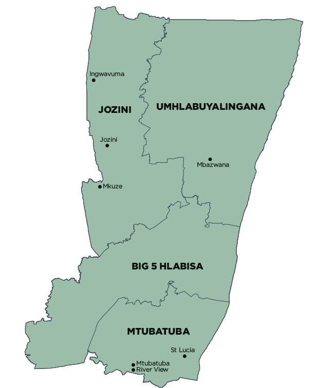
Description: The uMhlabuyalingana Local Municipality is a Category B municipality situated within the uMkhanyakude District in the KwaZulu-Natal Province. The major structuring elements of the municipality are the Pongola River along the western boundary, the road from Sikhamelele to Manguzi (east-west linkage), and the recently completed road (MR22) from Hluhluwe. It is the largest municipality of four in the district, making up a third of its geographical area.
The municipality is extremely rural, with informal settlements at Mbazwana and Manguzi. The area is influenced by the influx of people who migrate from Swaziland and Mozambique.
Area: 4 977km²
Cities/Towns: Mbazwana
Main Economic Sectors: Agriculture, mining, manufacturing, services