

Alfred Duma Local Municipality was established by the amalgamation of Emnambithi/Ladysmith Local Municipality and Indaka Local Municipality on 3 August 2016. Financial, Employment and Service Delivery information for the new municipality is only available from the 2016/17 financial year. View historical information for Emnambithi/Ladysmith Local Municipality and Indaka Local Municipality.
Geography, History & Economy
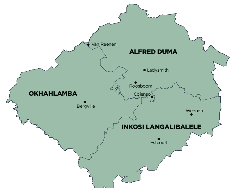
Alfred Duma Local Municipality is part of uThukela District Municipality.
MDB code: KZN238
Description: The Alfred Duma Local Municipality is a Category B municipality in the uThukela District within the region of northern KwaZulu-Natal. It is one of three municipalities in the district, making up a third of its geographical area. It was established by the amalgamation of the Emnambithi/Ladysmith and Indaka Local Municipalities in August 2016.
The municipality features the uThukela River and the Greater Drakensberg Mountain. It comprises a range of settlements, from urban to municipal service centres, agricultural landscapes, industrial and semi-rural residential settlements, and areas that are predominantly rural.
In terms of the macro socio-economic context, the municipality is midway between the national primary nodes of Johannesburg and Durban. To the west of the municipality lies the Free State Province and to the north the Mpumalanga Province. The presidential prioritised railway corridor, which links the areas of Durban and Johannesburg, runs through the municipality.
In some parts of the municipality, the community access roads are in very bad condition; some only exist as tracks. The rural nature of those parts means that are has severe backlogs in infrastructure and are characterised by much poverty.
Area: 3 764km²
Cities/Towns: Colenso, Ladysmith, Van Reenen
Main Economic Sectors: Agriculture, fishing and forestry; mining and quarrying; manufacturing; water; electricity; construction; wholesale and retail trade; tourism