
Geography, History & Economy
Msinga Local Municipality is part of uMzinyathi District Municipality.
MDB code: KZN244
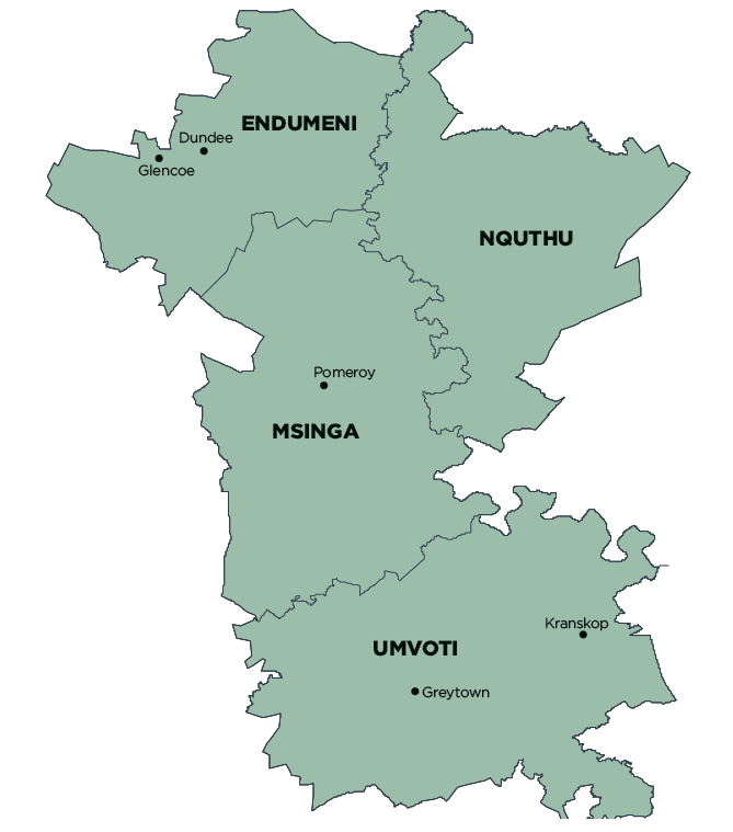
Description: The Msinga Local Municipality is a Category B municipality in the south-western part of the uMzinyathi District in KwaZulu-Natal. It is one of four municipalities in the district, making up almost a third of its geographical area.
The nature of the topography is such that Msinga is largely located in deep gorges of the Tugela and Buffalo Rivers. This effectively isolates the area from the immediate surrounding municipal areas. Msinga is accessible via the R33, linking it with Dundee, Ladysmith, Pietermaritzburg, Kranskop and Weenen.
It is a largely rural area, with 70% of its area being traditional authority land held in trust by the Ingonyama Trust. The remaining 30% of land is commercial farmland, all of which is located to the north of Pomeroy. Due to the rural nature of the municipality, approximately 99% of the population lives in traditional areas.
The population dynamics result in a growing rural area and a declining urban area in Msinga, contrary to most other areas in the country. This can be attributed to the fact that the urban areas of Msinga are very small and are unable to provide the normal range of goods and services provided in urban areas. As a result, the population utilises the neighbouring areas of Emnambithi and Umvoti for urban services.
The strong traditional culture, particularly prevalent in Msinga, is a valuable asset that must be preserved and valued. These traditional areas provide support mechanisms for the communities, as well as living custodians of the culture.
Area: 2 375km²
Cities/Towns: Pomeroy
Main Economic Sectors: Community services (64.6%), trade (14%), construction (8.4%), transport (5%), agriculture (3.7%)