
Geography, History & Economy
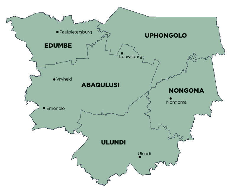
uPhongolo Local Municipality is part of Zululand District Municipality.
MDB code: KZN262
Description: The uPhongolo Local Municipality is a Category B municipality located in the north of the Zululand District in KwaZulu-Natal. It lies adjacent to the Swaziland Border and the Mpumalanga Province Border. It is one of five municipalities in the district.
Main access to the municipality is via the N2 from Gauteng in the north-west and Durban in the south. The municipality provides regional access to a wide range of tourist activities outside its own boundaries. Main rivers in the municipality are the Mkuze River in the south and the Pongola River in the north, the latter feeding the Pongolapoort Dam located on the eastern boundary of the municipality.
Together with the fragmented and sometimes dramatic topography of the area, the municipality contains, in overall terms, very low settlement densities, while on the other hand containing substantial recreational and tourism opportunities.
The overall aim in terms of integrated development planning and land use management is to provide a secure environment for investment within the uPhongolo Municipality. The focus is on the investment in social and economic infrastructure and services, which will enable all the people of uPhongolo to make a contribution to the future sustainable development of the area.
Area: 3 110km²
Cities/Towns: Pongola
Main Economic Sectors: Agriculture, tourism