
Part of Ntambanana Local Municipality was merged into uMfolozi Local Municipality on 3 August 2016. Financial, Employment and Service Delivery information prior to the 2016/17 financial year only includes figures for uMfolozi Local Municipality. View historical information for Ntambanana Local Municipality.
Geography, History & Economy
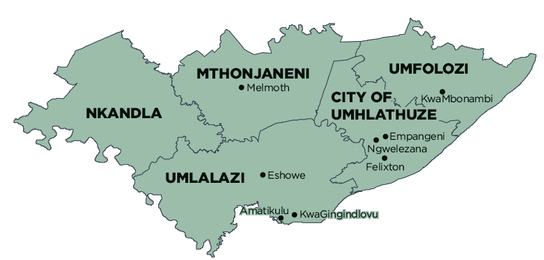
uMfolozi Local Municipality is part of King Cetshwayo District Municipality.
MDB code: KZN281
Description: The uMfolozi Local Municipality (previously Mbonambi Local Municipality) is a Category B municipality that forms part of the King Cetshwayo District in the KwaZulu-Natal Province. It is one of the five municipalities that make up the district.
In close proximity to the City of uMhlathuze, the town of KwaMbonambi is situated alongside one of the country’s major highways, which runs from Cape Town to the Mozambican border, and carries both tourist and business traffic.
The biggest proportion of land within the uMfolozi Municipal area is owned by private organisations and Ingonyama Trust Land. This privately owned land is located in the centre of the municipal area surrounding KwaMbonambi. The second-biggest area is Mhlana Traditional Authority, followed by the Sokhulu and Mbonambi Traditional Authorities.
The uMfolozi Municipality is close to the St Lucia Estuary, a World Heritage Site, and to the popular fishing spot of Mapelane, as well as the world-famous Hluhluwe-Umfolozi Game Reserves. The Owen Sithole College of Agriculture, which is located in the area, contributes to the advancement of agricultural research and training.
Area: 1 300km²
Cities/Towns: KwaMbonambi
Main Economic Sectors: Manufacturing; wholesale and retail trade, catering and accommodation; transport, storage and communication; finance, insurance, real estate and business services; agriculture, forestry and fishing