Geography, History & Economy
Okhahlamba Local Municipality is part of uThukela District Municipality.
MDB code: KZN235
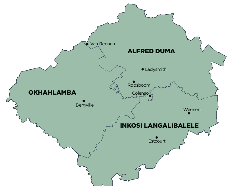
Description: The Okhahlamba Local Municipality is a Category B municipality situated in the uThukela District of KwaZulu-Natal between Lesotho, the Free State, and the Alfred Duma and Inkosi Langalibalele Local Municipalities. It is the largest of three municipalities in the district, making up just over a third of its geographical area.
Okhahlamba is made up of privately owned commercial farmland; smallholder settlements; the urban areas of Bergville, Winterton, Cathkin Park and Geluksberg; and three tribal authority areas. The ideally-situated agricultural and trading centre of Bergville, less than 50km from the towering Amphitheatre of Royal Natal, was laid out by a retired sea captain in 1897. Two years later, at the onset of the Anglo-Boer War, British forces built a blockhouse in the settlement. The building is now a monument and museum within the grounds of the Bergville Courthouse.
Bergville is a small town and is known as the gateway to the Northern Drakensberg. Approximately half a million tourists are attracted to the Drakensberg annually. Bergville hosts an office of the Drakensberg Publicity Association.
The area is relatively well linked through the network of existing provincial roads that run through the municipality. The municipality is largely reliant on Ladysmith for facilities such as shopping, medical services and education, among others. Large capital expenditure is needed to meet service backlogs in the area.The council manages a caravan park and holiday huts on the bank of the uThukela River. A playground and facilities for sports, including swimming, tennis, bowls, cricket, golf, rugby and badminton, are available. A modern community hall serves as a town hall.
Area: 3 971km²
Cities/Towns: Bergville, Cathkin Park, Winterton
Main Economic Sectors: Manufacturing (29%), wholesale and retail trade (12%), finance, insurance, real estate, business services, tourism, agriculture
