Geography, History & Economy
Mpofana Local Municipality is part of uMgungundlovu District Municipality.
MDB code: KZN223
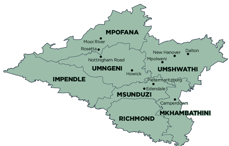
Description: The Mpofana Local Municipality is a Category B municipality located approximately 40km west of Pietermaritzburg. It is bounded by three municipalities: uMngeni in the south, uMshwathi in the east, and Impendle in the west. It is one of seven municipalities in the district.
The municipality benefits from its strategic position as it has easy access to rail, KZN provincial roads and the N3 National Road. Almost 50% of the land in Mpofana has the potential for rural farming, with products set for the international market.
Mooi River is a small town that germinated from a small farm and then, later, became the principal node of the Mpofana Municipality when a railway line linking Durban with Johannesburg, as well as the Drakensberg Mountains, was established in order to cater for the needs of the farmers in the area. This suggests that Mpofana has great potential for development through tourism.
Area: 1 757km²
Cities/Towns: Mooi River
Main Economic Sectors: Agriculture, tourism
