
Geography, History & Economy
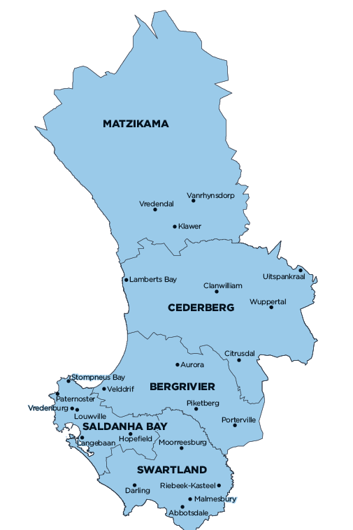
Saldanha Bay Local Municipality is part of West Coast District Municipality.
MDB code: WC014
Description: The Saldanha Bay Local Municipality is a Category B municipality located in the West Coast District, approximately 140km north of Cape Town, in the Western Cape Province.
The municipality is bordered in the north by Bergrivier, in the south by the West Coast National Park, which forms part of the West Coast District Management Area, in the east by Swartland, and in the north by Bergrivier. It is the smallest of the five municipalities that make up the district, accounting for 6% of its geographical area.
Area: 2 015km²
Cities/Towns: Hopefield, Jacobs Bay, Langebaan, Paternoster, Saldanha, St Helena Bay, Vredenburg
Main Economic Sectors: Finance, insurance, real estate and business services (31.7%), general government (17.7%), manufacturing (13.3%), wholesale and retail trade, catering and accommodation (10.1%), transport, storage and communication (9.3%), agriculture, forestry and fishing (7.9%), community, social and personal services (5.1%), construction (3.3%)