
Geography, History & Economy
Mossel Bay Local Municipality is part of Garden Route District Municipality.
MDB code: WC043
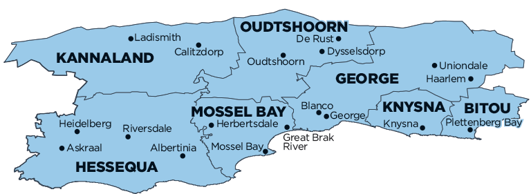
Description: The Mossel Bay Local Municipality is a Category B municipality situated within the Garden Route District in the Western Cape Province. It is bordered by the municipalities of Oudtshoorn to the north, George to the east, and Langeberg to the west. Its northern boundary is the Outeniqua Mountains and its western boundary the Gouritz River. To the east it stretches to the Maalgate River. The municipality is one of seven in the district.
The Garden Route District Municipality fulfills a coordinating function in the area, although each of the local municipalities remains autonomous. Mossel Bay Local Municipality is situated on the N2 approximately halfway between the coastal cities of Cape Town and Port Elizabeth.
Area: 2 001km²
Cities/Towns: Boggoms Bay, Brandwag, Friemersheim, Great Brak River, Herbertsdale, Mossel Bay, Vleesbaai