
Geography, History & Economy
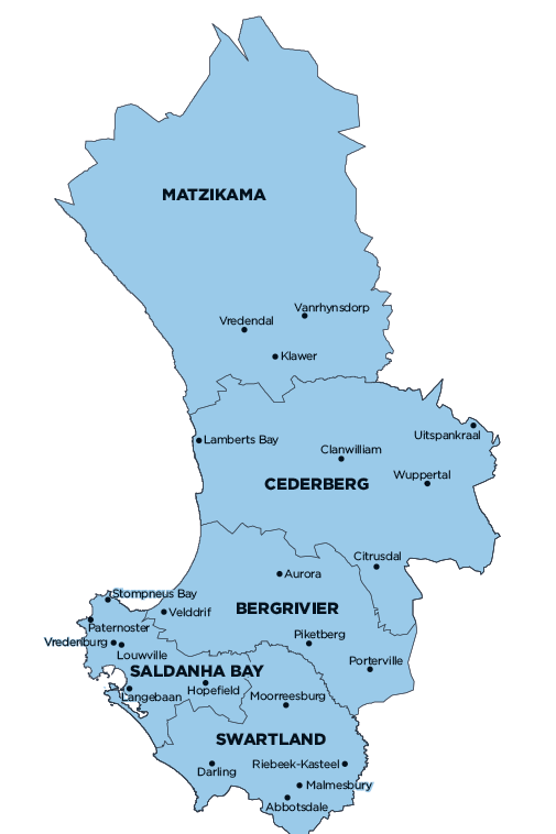
Swartland Local Municipality is part of West Coast District Municipality.
MDB code: WC015
Description: The Swartland Local Municipality is a Category B municipality situated within the West Coast District in the Western Cape Province. It is one of the five municipalities in the district. It has its head office and main infrastructure based in Malmesbury, which is situated 70km north of Cape Town on the N7.
In 1743, Malmesbury began as a settlement in the wide Diep River Valley around a mineral source and fountains in the area. The town was officially proclaimed on 21 May 1827 and was named after the Governor of the Cape, Sir Lowry Cole’s father-in-law, the first Earl of Malmesbury in England. The town obtained municipal status in 1860.
Malmesbury fulfils an important urban niche in the region and the province. Its high development potential can be attributed to factors such as its relative accessibility along the N7 road/rail corridor; closeness to Cape Town; diversified economic base, which not only accommodates agriculture but also well-developed industrial and commercial sectors; and supportive infrastructure.
The high property values in the Cape Town Metropole and the attraction of a local tranquil atmosphere are moving people to settle here and commute to Cape Town on a daily basis. Malmesbury is home to a number of large companies, as well as regional offices of provincial and national government departments.
Area: 3 707km²
Cities/Towns: Abbotsdale, Chatsworth, Darling, Grotto Bay, Kalbaskraal, Koringberg, Malmesbury, Moorreesburg, Riebeeck Kasteel, Riebeeck West, Riverlands, Yzerfontein
Main Economic Sectors: Finance, insurance, real estate and business services (33.7%), manufacturing (21.2%), agriculture, forestry and fishing (14.3%), wholesale and retail trade, catering and accommodation (11%), general government (5.5%), transport, storage and communication (4.9%), construction (4.8%)