
Geography, History & Economy
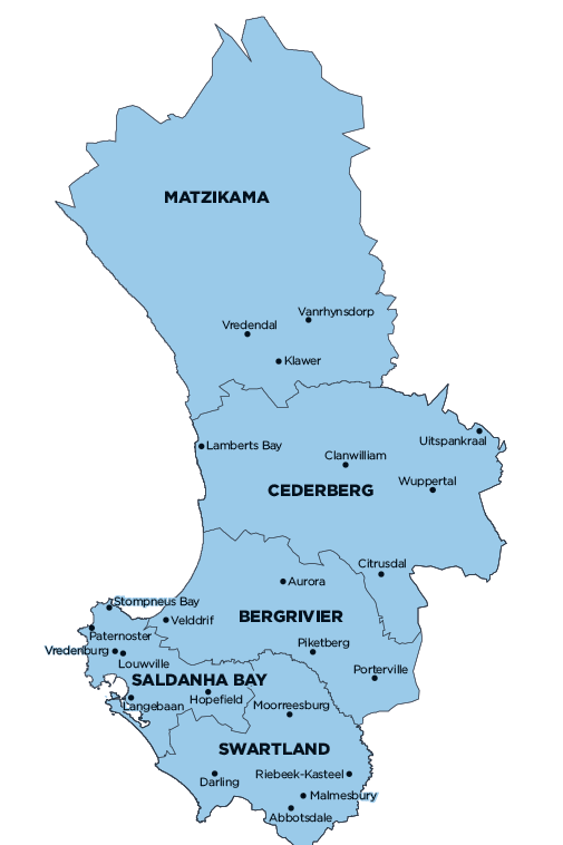
Matzikama Local Municipality is part of West Coast District Municipality.
MDB code: WC011
Description: The Matzikama Local Municipality is a Category B municipality situated within the West Coast District in the Western Cape Province. It is bordered by the Northern Cape in the north and east, and by the Atlantic Ocean in the west. It is the biggest of five municipalities in the district, making up almost half of its geographical area.
The municipal area comprises 18 towns and/or villages. Matzikama is characterised by an arid environment, but is served by a life-giving arterial, namely the Olifants River. The river, with its associated canal systems, supports a flourishing agricultural sector that is mainly built on viniculture.
Apart from those living in the newly incorporated area to the north, as well as in the towns of Doring Bay, Strandfontein and Vanrhynsdorp, the rest of the population is concentrated along the river and canal system. Vredendal is by far the largest town in the area and it is also centrally located, rendering it the logical economic and administrative centre of the municipal area.
Area: 12 981km²
Cities/Towns: Bitterfontein, Doring Bay, Ebenhaezer, Klawer, Kliprand, Koekenaa, Lutzville, Molsvlei, Nuwerus, Putsekloof, Rietpoort, Stofkraal, Strandfontein, Vanrhynsdorp, Vredendal
Main Economic Sectors: Manufacturing (19.9%), agriculture, forestry and fishing (18.9%), transport, storage and communication (16.2%), finance, insurance, real estate and business services (15.2%), wholesale and retail trade, catering and accommodation (10.5%), general government (7.7%), community, social and personal services (5.7%), construction (3.8%)