
Geography, History & Economy
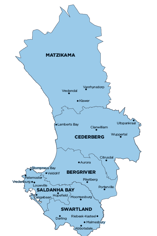
Cederberg Local Municipality is part of West Coast District Municipality.
MDB code: WC012
Description: The Cederberg Local Municipality is a Category B municipality located in the West Coast District along the upper west coast of the Western Cape Province, approximately 200km from Cape Town. The municipal area is bordered by the spectacular Cederberg Mountains in the east and the Atlantic Ocean in the west. It is one of five municipalities in the district.
It is strategically located on the Cape-Namibia Corridor, and the N7 National Road links it with the Northern Cape. If this corridor was identified for future infrastructure upgrades and investments, it would be of paramount importance to ensure that the very basic infrastructure is in place to facilitate future development, whilst simultaneously planning for future growth.
The municipality has its focus on the development of the rural poor and, in particular, investing in the youth and final year school-goers to secure their future. Due to its scenic natural beauty, ecotourism is considered a major future economic growth sector.
Area: 8 007km²
Cities/Towns: Citrusdal, Clanwilliam, Elands Bay, Graafwater, Lamberts Bay, Leipoldtville, Wupperthal
Main Economic Sectors: Agriculture, forestry and fishing (25.7%), wholesale and retail trade, catering and accommodation (17.3%), finance, insurance, real estate and business services (15.3%), manufacturing (12.8%), general government (9.8%), transport, storage and communication (6.9%), community, social and personal services (6.2%), construction (5.1%)