Geography, History & Economy
Mogalakwena Local Municipality is part of Waterberg District Municipality.
MDB code: LIM367
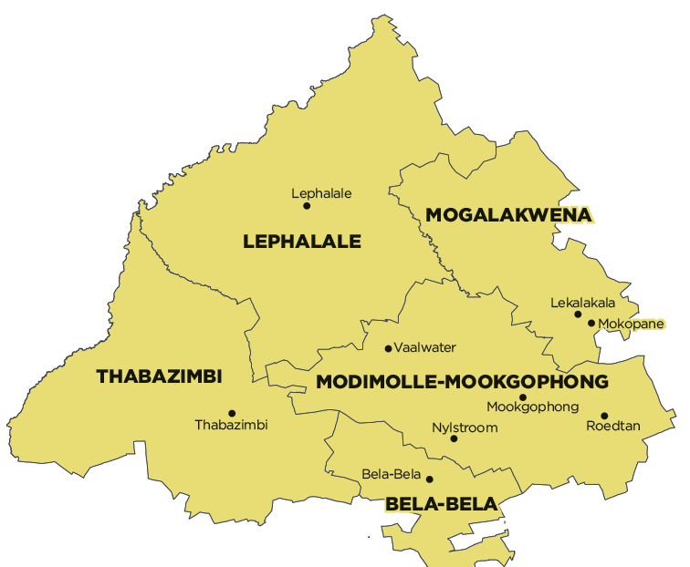
Description: The Mogalakwena Local Municipality is a Category B municipality situated in the western quadrant of the Limpopo Province, within the western district of the Waterberg District. It is bordered by Lephalale to the north, Modimolle-Mookgophong to the south, and the Capricorn District in the east. It is one of the five municipalities in the district.
It was established on 5 December 2000 when various municipalities and councils that had previously served the Potgietersrus and surrounding areas were integrated. The following local authorities were amalgamated to form the new municipality: Greater Potgietersrus, Bakenberg and Koedoesrand/Rebone.
Area: 6 156km²
Cities/Towns: Mokopane (Potgietersrus)
Main Economic Sectors: Mining, agriculture
