
Geography, History & Economy
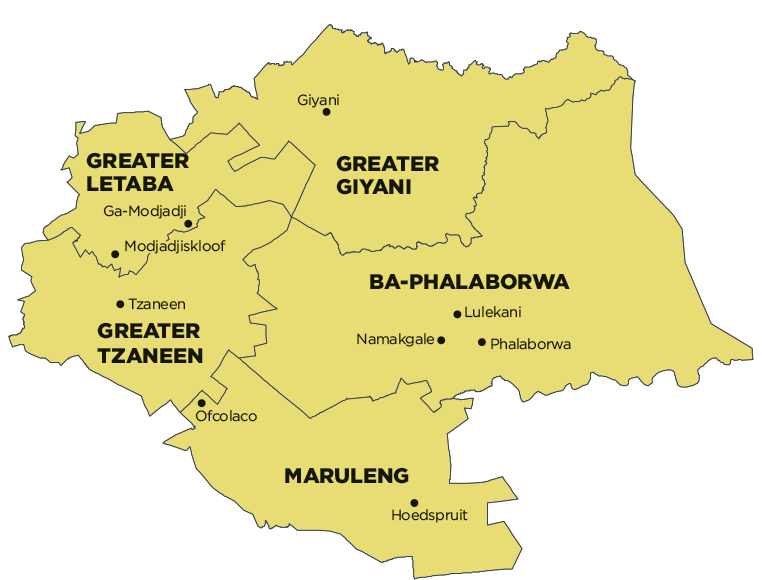
Greater Letaba Local Municipality is part of Mopani District Municipality.
MDB code: LIM332
Description: The Greater Letaba Local Municipality is a Category B municipality situated in the Mopani District in the Limpopo Province. It is the smallest of five municipalities in the district. The ‘gates’ to the municipal area are considered to be Mamaila Kolobetona in the north, Modjadjiskloof (previously Duiwelskloof) in the south, Makgakgapatse in the east, and Sekgopo in the west. There are 130 rural villages within the municipal area.
It is characterised by contrasts such as varied topography, population densities (low in the south, relatively dense in the north-east), and prolific vegetation in the south (timber) and sparse vegetation in the north (Bushveld). The availability of natural resources such as dams, tourist attractions, nature reserves and proximity to intensive economic activities creates opportunities for economic spin-offs.
Area: 1 891km²
Cities/Towns: Modjadjiskloof
Main Economic Sectors: General government services (22.28%), wholesale and retail trade, catering and accommodation (18.55%), transport and communication (16.73%), finance and business services (12.41%), agriculture, forestry and fishing (8.46%), manufacturing (6.63%), community, social and personal services (5.94%), electricity and water (4.34%)