Geography, History & Economy
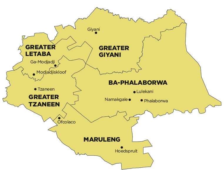
Greater Giyani Local Municipality is part of Mopani District Municipality.
MDB code: LIM331
Description: The Greater Giyani Local Municipality is a Category B municipality situated within the Mopani District in the Limpopo Province. It is one of five municipalities in the district. It was established in terms of the Constitution of the Republic of South Africa of 1996, the Municipality Demarcation Act of 1998, and Section 12 Notice issued in terms of the Local Government: Municipal Structures Act of 1998.
The town of Giyani was established in 1969 and is regarded as the ‘place where the people dance and land of the friendly people’. It is the administrative and commercial centre of the Mopani District and also the former capital of Gazankulu. Giyani is also rich in cultural history, with royal families dating back as far as 1822.
Giyani is located approximately 185km from Polokwane (previously Pietersburg), 100km from Thohoyandou and 550km from Pretoria. Its eastern section borders on the world-famous Kruger National Park. The municipality is demarcated into 30 wards and has 60 councillors. The 10 traditional authority areas comprise 91 villages.
Giyani Town is the largest and most densely populated centre, featuring the most employment opportunities, as well as the best shopping and recreational facilities. The labour force consists of skilled, semi-skilled and a large percentage of unskilled people.
Area: 4 172km²
Cities/Towns: Giyani
Main Economic Sectors: Agriculture, tourism, retail, transport
