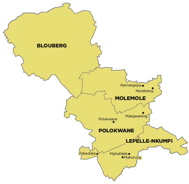
Part of Aganang Local Municipality was merged into Blouberg Local Municipality on 3 August 2016. Financial, Employment and Service Delivery information prior to the 2016/17 financial year only includes figures for Blouberg Local Municipality. View historical information for Aganang Local Municipality.
Geography, History & Economy
Blouberg Local Municipality is part of Capricorn District Municipality.
MDB code: LIM351
Description: The Blouberg Local Municipality is a Category B municipality situated within the Capricorn District of the Limpopo Province, in the northern part of South Africa, bordering Zimbabwe and Botswana. It is the largest of four municipalities in the district, making up almost half of its geographical area.
Blouberg is home to some of the most spectacular rock climbing in South Africa. It is famous for its big-wall natural climbing, with route lengths up to 350m. The vegetation ranges from subtropical savanna at the base, to alpine near the summit. It takes its name from the Blouberg (blue mountains), a mountain range located to the west of the western end of the Soutpansberg Mountain Range, north-west of the town of Vivo.
Blouberg is a hot area with annual rainfall varying between 380 and 550mm. Most rainfall is experienced during the summer months. Evapotranspiration during the rainy season is very high. The area is prone to frequent drought, which has an adverse effect on the local economy. The only perennial river is the Mogalakwena River, which feeds the Glen Alpine Dam, the only source of pipeline water in the area.
Area: 9 540km²
Cities/Towns: Alldays, Senwabarwana (Bochum)
Main Economic Sectors: Agriculture, mining, tourism
