Geography, History & Economy
Tokologo Local Municipality is part of Lejweleputswa District Municipality.
MDB code: FS182
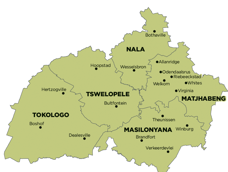
Description: The Tokologo Local Municipality is a Category B municipality located within the Lejweleputswa District in the western Free State Province. It is bordered by the North West Province in the north, the Xhariep District in the south, Tswelopele and Masilonyana in the east, and the Northern Cape Province in the west. It is one of five municipalities in the district, making up almost a third of its geographical area.
Boshof (the capital town) is situated in the centre, Dealesville is further east, and Hertzogville is situated in the north of the municipal area. Tokologo is a Setswana word meaning ‘freedom’, emanating from the relentless struggle of the oppressed people, culminating in their freedom on 27 April 1994.
Area: 9 326km²
Cities/Towns: Boshof, Dealesville, Hertzogville
Main Economic Sectors: Agriculture
