
eography, History & Economy
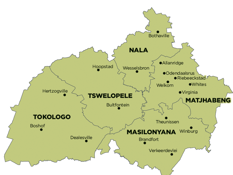
Matjhabeng Local Municipality is part of Lejweleputswa District Municipality.
MDB code: FS184
Description: The Matjhabeng Local Municipality is a Category B municipality situated in the Lejweleputswa District in the Free State. It is bound by Nala to the north, Masilonyana to the south, Tswelopele to the east and Moqhaka to the west. It is one of five municipalities in the district. Matjhabeng represents the hub of mining activity in the Free State Province.
There is one formal land-based protected area in the municipality, being the Willem Pretorius Nature Reserve. There are no Ramsar sites. Grassland is the one biome in the Matjhabeng Municipality. Seven vegetation types are found, namely Bloemfontein Karroid Shrubland, Central Free State Grassland, Highveld Alluvial Vegetation, Highveld Salt Pans, Vaal-Vet Sandy Grassland, Western Free State Clay Grassland and Winburg Grassy Shrubland.
There is one endangered ecosystem, covering 11% of the Matjhabeng Municipality. This is the Vaal-Vet Sandy Grassland. There is only one water management area, namely the Middle Vaal. Five rivers run through the municipality, including the Koolspruit, Sand, Sandspruit and Vet. Wetlands cover 5.5% of the Matjhabeng Municipality.
Area: 5 690km²
Cities/Towns: Allanridge, Hennenman, Odendaalsrus, Ventersburg, Virginia, Welkom
Main Economic Sectors: Mining, manufacturing