
Geography, History & Economy
Ngwathe Local Municipality is part of Fezile Dabi District Municipality.
MDB code: FS203
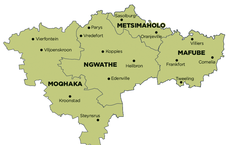
Description: The Ngwathe Local Municipality is a Category B municipality situated in the northern part of the Fezile Dabi District in the Free State. The Vaal River forms the northern boundary of the area, which also serves as the boundary between the Free State, Gauteng and North West Provinces. It is one of four municipalities in the district, making up a third of its geographical area. The Renoster River also drains through the region and is dammed up in the vicinity of Koppies in a series of dams, namely the Weltevrede, Rooipoort and Koppies Dams. The rivers, together with the respective dams, are prominent water sources for agricultural purposes in the region.
Other prominent topographical features include the Vredefort Dome in Parys. The form of the dome consists of a central cone of granite surrounded by concentric ridges of quartzite belonging to the Witwatersrand System. The Parys District has unique natural and environmental assets, like the Vaal River, with several islands in the proximity of Parys, and the Vredefort Dome, that present exceptional tourism potential. Parys has a well-developed airfield that supports commercial and tourism development in the area. It has a strong commercial component and provides a wide range of services regarding health, education and professional services to the district.
Vredefort is the only town that formed the former Vredefort District. The former Heilbron District is predominantly an agricultural area, although major manufacturing industries contribute largely to the Gross Geographic Product of the district.
Koppies is located in an area of agricultural significance and mainly provides services in this regard to the surrounding rural areas. The three well-established and developed irrigation schemes subsequently enhance the agricultural character of the area. The strategic location of Koppies between the larger centres of Kroonstad and Sasolburg influence growth and development within the community. The bentonite exploitation near Koppies and the initiative for coal mining in the vicinity of the town provide significant future growth potential. Koppies is becoming known for its tourist attractions. Specific reference is made to the R82 Battlefield Route, which consists of several historical battlefields. These that are envisaged to be further developed along with the Koppies Dam Nature Reserve.
Edenville is also located in an area of agricultural significance. The main road linking Kroonstad and Heilbron runs adjacent to the area.
Area: 7 055km²
Cities/Towns: Edenville, Heilbron, Koppies, Parys, Vredefort
Main Economic Sectors: Agricultural, mining, manufacturing, services