
Geography, History & Economy
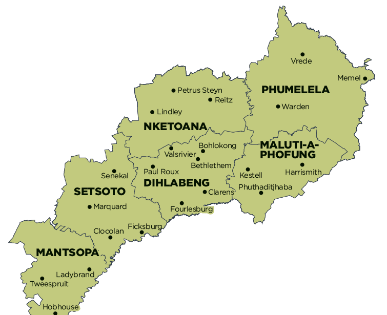
Dihlabeng Local Municipality is part of Thabo Mofutsanyana District Municipality.
MDB code: FS192
Description: The Dihlabeng Local Municipality is a Category B municipality situated in the Thabo Mofutsanyana District in the Free State. It is one of six municipalities in the district. It was established in terms of Section 12 of the Local Government Structures Act 117 of 1998, after the first general local government elections of 5 December 2000, which heralded the final phase of local government reform as envisaged in 1994 at the onset of the process of democratisation.
Bethlehem is situated approximately 240km north-east of Bloemfontein, 140km east of Kroonstad and 90km west of Harrismith. The town is strategically situated in the heart of the picturesque north-eastern Free State and originally developed as a service centre. Growth is stimulated by the strategic location of the area, which is situated adjacent to the N5 between Bloemfontein and Durban and serves as a central regional centre.
The scenic town of Clarens, often referred to as the ‘Switzerland’ of South Africa, is situated approximately 34km south-east of Bethlehem. Clarens is a mere 20km from the Golden Gate Highlands National Park.
Fouriesburg is situated on the R26 route and in close proximity to Lesotho. The town has the predominant function of a small service centre and is increasingly being supported by the tourism industry. Paul Roux is situated 35km west of Bethlehem. Rosendal is located at the foot of the Witteberg Mountain Range on the R70. The town offers excellent property investment opportunities.
Area: 4 868km²
Cities/Towns: Bethlehem, Clarens, Fouriesburg, Golden Gate Highlands National Park, Paul Roux, Rosendal
Main Economic Sectors: Services (29.7%), trade (18.6%), finance (18%), manufacturing (14.4%), transport (9.3%), agriculture (7.1%), construction (1.9%)