
Geography, History & Economy
Kareeberg Local Municipality is part of Pixley Ka Seme District Municipality.
MDB code: NC074
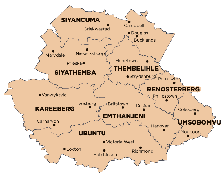
Description: The Kareeberg Local Municipality is a Category B municipality situated within the Pixley Ka Seme District in the Northern Cape Province. It is bordered by the ZF Mgcawu District and Siyathemba in the north, Ubuntu in the south, Emthanjeni in the east, and the Namakwa District in the west.
It is the second-largest municipality of the eight that make up the district, accounting for 17% of its geographical area. The name originates from a mountain range in the region, the Karee Mountains.
Area: 17 701km²
Cities/Towns: Carnarvon, Vanwyksvlei, Vosburg
Main Economic Sectors: Agriculture (33.8%), commercial (10.6%), finance (7.5%), transport (5.9%)