
Geography, History & Economy
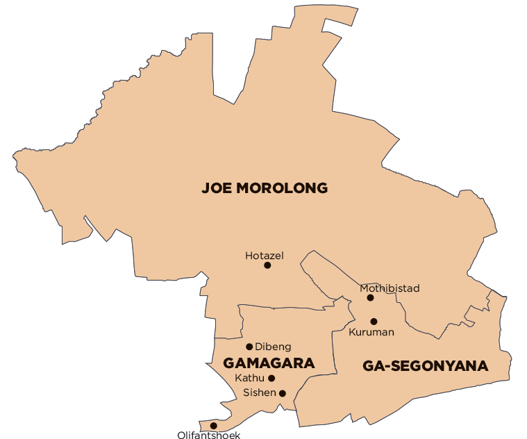
Gamagara Local Municipality is part of John Taolo Gaetsewe District Municipality.
MDB code: NC453
Description: The Gamagara Local Municipality is a Category B municipality found in the John Taolo Gaetsewe District within the Northern Cape Province. It is located in the north-eastern sector of the Northern Cape on the N14 National Road between Upington and Vryburg. It lies approximately 200km north-east of Upington and 280km north-west of Kimberley.
It is the smallest of the three municipalities that make up the district, accounting for 10% of its geographical area. The central business district (CBD) is located in Kathu.
The municipal area owns an endemic camel thorn tree forest that enjoys a National Heritage status and gave Kathu its name. The area boasts the largest single pit, open cast iron ore mine in the world, and is the starting point of the Sisheng—Saldanha railway line.
Area: 2 648km²
Cities/Towns: Deben, Kathu, Olifantshoek
Main Economic Sectors: Mining, game farming, business services