Geography, History & Economy
Kamiesberg Local Municipality is part of Namakwa District Municipality.
MDB code: NC064
Description: The Kamiesberg Local Municipality is a Category B municipality situated within the Namakwa District in the Northern Cape Province. It is one of the smaller municipalities of the six that make up the district. It was established in 2001 in accordance with the demarcation process. The municipality spans three topographic zones: from the sandy coastal lowlands (Sandveld) to the mountainous central Kamiesberg escarpment (Hardveld), and to the eastern plateau of Bushmanland.
There are no perennial rivers in the area. Water is obtained from subterranean sources. Some of the water is pumped up by windmills, but most of the water to the communal areas comes from natural springs. Many of these springs are semi-perennial and the salt content of the water can vary from year to year, causing problems.
Four main types of vegetation are found in the area: Mountain Renosterveld, Succulent Karoo, False Succulent Karoo and Namaqualand Broken Veld. However, overall plant life is in a deteriorating state and non-edible, undesirable and poisonous vegetation is taking over.
Area: 14 208km²
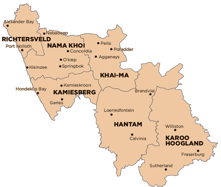
Cities/Towns: Garies, Hondeklip Bay, Kamieskroon, Koingnaas, Leliefontein/Kamiesberg
