Geography, History & Economy
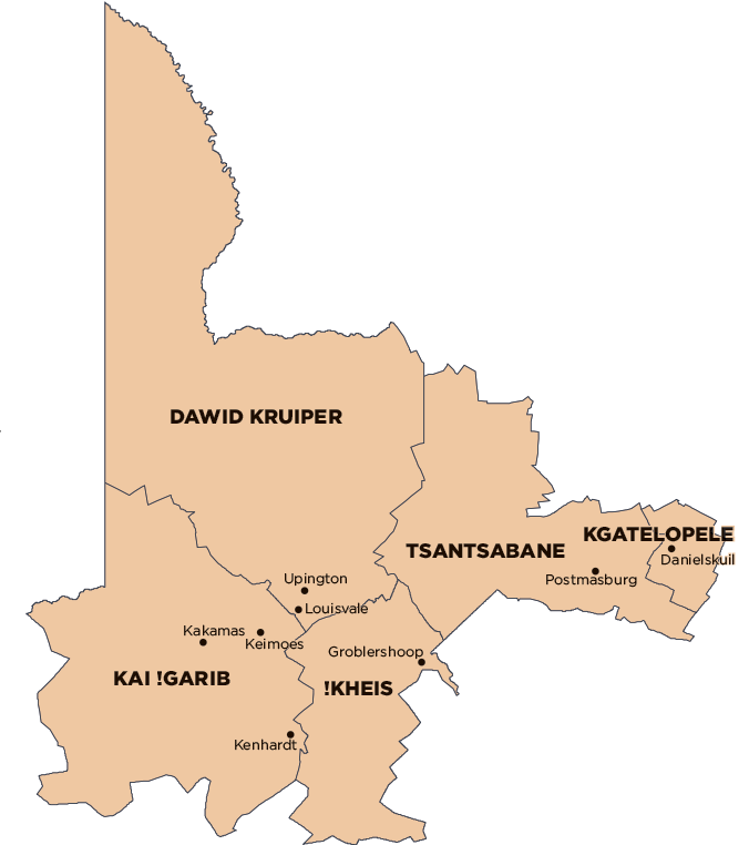
Kai !Garib Local Municipality is part of ZF Mgcawu District Municipality.
MDB code: NC082
Description: The Kai !Garib Local Municipality is a Category B municipality situated along the Orange River within the ZF Mgcawu District in the Northern Cape Province. It is bordered by Dawid Kruiper Local Municipality in the north-east and Namibia in the north-west.
It is the second-largest of the five municipalities that make up the district, accounting for a quarter of its geographical area. It is characterised by its unique landscape, with the Kalahari Desert on the one side and the Orange River on the other side.
Area: 26 377km²
Cities/Towns: Eksteenskuil, Kakamas, Keimoes, Kenhardt
Main Economic Sectors: Agriculture (51.8%), community and government services (15.9%), wholesale and retail trade (11.3%), finance services (7.6%), manufacturing (5.1%)
