Geography, History & Economy
Dikgatlong Local Municipality is part of Frances Baard District Municipality.
MDB code: NC092
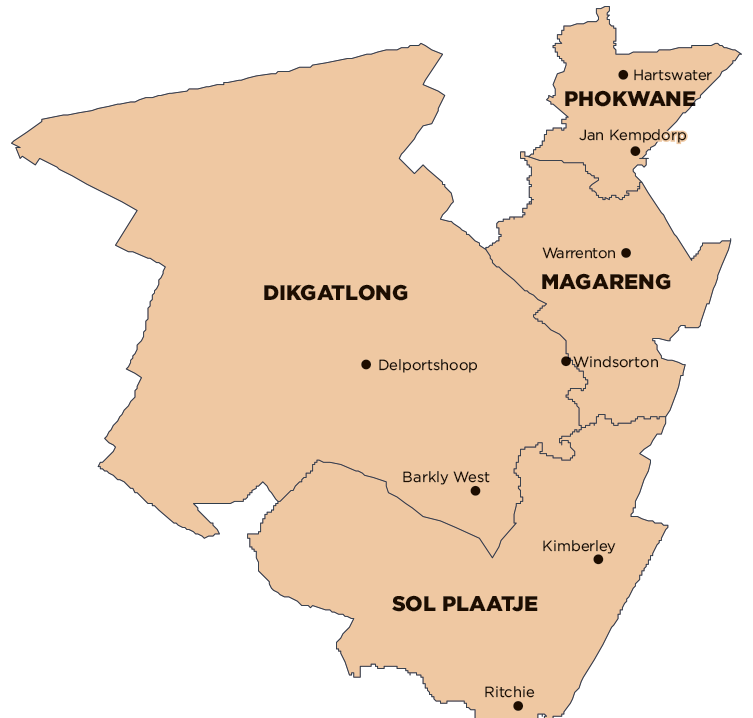
Description: The Dikgatlong Local Municipality is a Category B municipality situated within the Frances Baard District in the Northern Cape Province. The municipality lies on the northern bank of the Vaal River, 37km from the city of Kimberley, which is south-east from Dikgatlong. It is the largest of the four municipalities in the district, making up more than half of its geographical area.
It was established in 2000 through the Local Government Demarcation process, whereby the towns of Barkly West, Delpoortshoop and Windsorton were amalgamated into one municipality. The name Dikgatlong is derived from a Setswana word meaning ‘confluence’, as it refers to the place where the Harts and Vaal Rivers flow into each other at Delpoortshoop.
Area: 7 316km²
Cities/Towns: Barkly West, Delportshoop, Windsorton
Main Economic Sectors: Agriculture (22%), mining (7%), manufacturing (7%)
