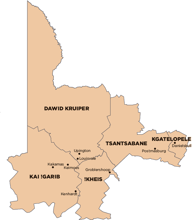
Dawid Kruiper Local Municipality was established by the amalgamation of Mier Local Municipality and //Khara Hais Local Municipality on 3 August 2016. Financial, Employment and Service Delivery information for the new municipality is only available from the 2016/17 financial year. View historical information for Mier Local Municipality and //Khara Hais Local Municipality.
Geography, History & Economy
Dawid Kruiper Local Municipality is part of ZF Mgcawu District Municipality.
MDB code: NC087
Description: The Dawid Kruiper Local Municipality is a Category B municipality that forms part of the ZF Mgcawu District in the Northern Cape. It borders with the Kgalagadi Transfrontier Park in the north, Botswana in the north-east, and Namibia in the west. It is the largest of five municipalities in the district, making up almost half its geographical area.
It was established by the amalgamation of the Mier and //Khara Hais Local Municipalities in August 2016. It consists of small towns and the !Khomani San community within its jurisdiction. Rietfontein, which is one of the main towns, is situated approximately 280km north-west from the nearest big town of Upington.
Upington is situated 400km west of Kimberley, and has an airport and a landing strip. Natural boundaries provide a unique aspect to the town – one is the Kalahari Desert and another is the Orange River, South Africa’s largest river, which it straddles.
The municipality is the acknowledged commercial, educational, military, agricultural, medical, transport and tourism centre of the area.
Area: 44 231km²
Cities/Towns: Mier, Rietfontein, Upington
Main Economic Sectors: Agriculture, business services, game farming, tourism and hospitality, manufacturing, transport, community services, social and personal services
