Geography, History & Economy
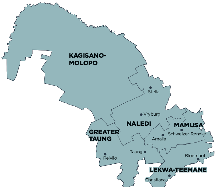
Greater Taung Local Municipality is part of Dr Ruth Segomotsi Mompati District Municipality.
MDB code: NW394
Description: The Greater Taung Local Municipality is a Category B municipality situated within the Dr Ruth Segomotsi Mompati District in the North West Province. It is one of the five municipalities that make up the district. The municipal area is predominantly rural and contains 106 widely scattered villages.
Greater Taung has a rich heritage that visitors can explore. The area also has strong agricultural significance in the South African economy. The Taung Skull Heritage Route is a fascinating journey of discovery. The route follows an area in which early man once lived, and it has many sites that show us the existence and evolution of our ancient ancestors.
Spanning more than 45km, the route includes several natural wonders, such as Thomeng (an unusual limestone waterfall) and Blue Pools (a collection of rock pools, streams and caves in a valley). It was at the limestone diggings on this route, at the old Buxton quarry, that the lime-encrusted skull of a child was found in 1924. The site is a UNESCO World Heritage Site, and a monument has been put in place to mark the discovery.
Area: 5 639km²
Cities/Towns: Pudimoe, Reivilo, Taung
Main Economic Sectors: Agriculture, tourism, culture