
Geography, History & Economy
Emalahleni Local Municipality is part of Nkangala District Municipality.
MDB code: MP312
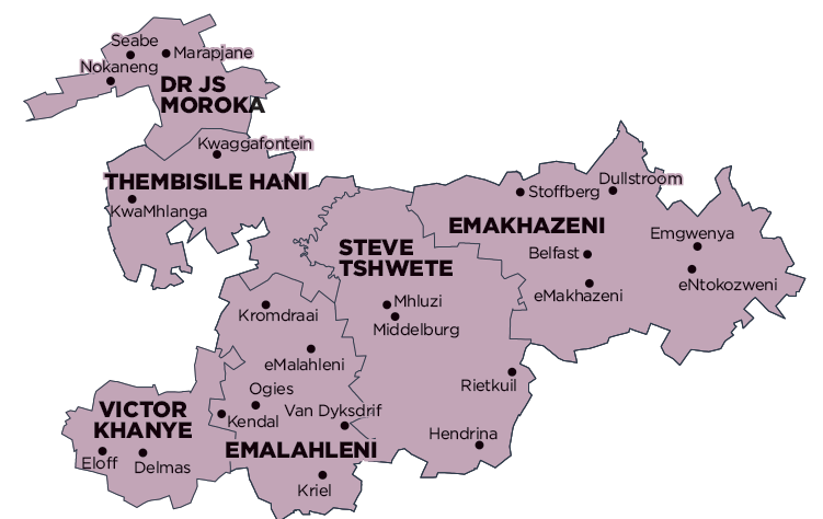
Description: The Emalahleni Local Municipality is a Category B municipality situated in the Mpumalanga Province within the Nkangala District. It forms part of the western regions of the province and borders onto the Gauteng Province. Thembisile Hani and Victor Khanye, and City of Tshwane Metro in Gauteng, border the municipality to the north and west. The Gert Sibande District borders it to the south and Steve Tshwete is located to the east. It is one of six municipalities in the district.
The Emalahleni Municipality is strategically located in terms of the provincial context and transport network. It is situated in close proximity to the City of Ekurhuleni, City of Johannesburg and City of Tshwane Metropolitan Municipalities in Gauteng, and is connected to these areas by the N4 and N12 freeways. These freeways converge at eMalahleni (previously Witbank) in Emalahleni, from where the N4 extends to Mbombela (previously Nelspruit), the provincial capital, and ultimately Maputo in Mozambique. The N4 freeway, along with the railway line that runs adjacent to the freeway from Gauteng to Mozambique, constitute the Maputo Corridor.
The southern areas of the Emalahleni Municipality form part of the region referred to as the Energy Mecca of South Africa, due to its rich deposits of coal reserves and power stations. eMalahleni and Middelburg (situated in the adjacent Steve Tshwete Municipality) are the highest order settlements in the Nkangala District. These towns offer the full spectrum of business and social activities, and both towns have large industrial areas. The towns fulfil the function of service centres to the smaller towns and settlements, as well as farms in the district.
Area: 2 678km²
Cities/Towns: Kriel, Ogies, Phola, eMalahleni
Main Economic Sectors: Mining, power generation, steel, vanadium and chrome