
Geography, History & Economy
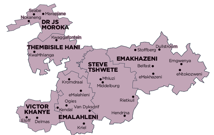
Emakhazeni Local Municipality is part of Nkangala District Municipality.
MDB code: MP314
Description: The Emakhazeni Local Municipality is a Category B municipality situated within the Nkangala District in the heart of the Mpumalanga Province. It is bordered by City of Mbombela in the east and Steve Tshwete in the west. It is the largest of the six municipalities in the district, making up almost a third of its geographical area.
The N4 Maputo Corridor, which traverses the region from west to east, and the R555 from Middelburg and R33 from eMakhazeni (previously Belfast), which converge at Stoffberg Road in the north-west, are the main connecting roads forming part of the major roads of the municipality.
The area is a nature-lover’s paradise, South Africa’s premier fly fishing mecca, host to some of the subcontinent’s rarest birds, and offers the best rock climbing and most spectacular wild flower displays – all just two hours from the metropolitan centres of Gauteng and Mozambique.
The Trout Triangle area is situated on the highest part of the Steenkampsberg Plateau at approximately 2 072m above sea level, with the Dullstroom station being the highest point in Mpumalanga. The Suikerboschkop koppies are situated in the west of the area.
There are various rivers and watercourses traversing the area, and numerous wetlands and sensitive environmental areas associated with these rivers, particularly around Dullstroom. There are four nature reserves in the area.
Area: 4 736km²
Cities/Towns: Dullstroom, Emgwenya (Waterval Boven), eMakhazeni, eNtokozweni (Machadodorp)
Main Economic Sectors: Mining (28.7%), transport (25.1%), community services (14.2%), finance (8.5%), trade (7.7%), manufacturing (6.9%), agriculture (3.8%)