
Rand West City Local Municipality was established by the amalgamation of Randfontein Local Municipality and Westonaria Local Municipality on 3 August 2016. Financial, Employment and Service Delivery information for the new municipality is only available from the 2016/17 financial year. View historical information for Randfontein Local Municipality and Westonaria Local Municipality.
Geography, History & Economy
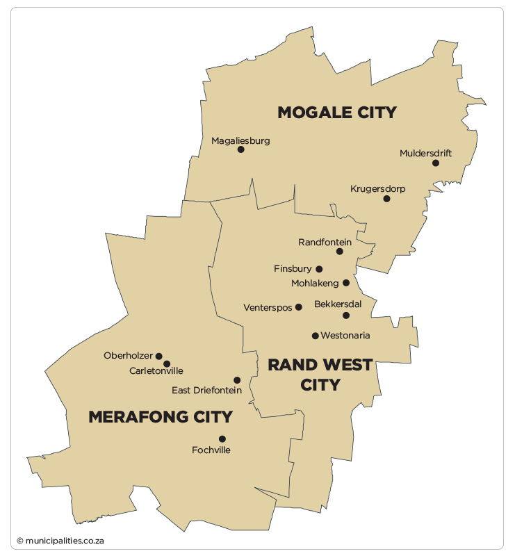
Rand West City Local Municipality is part of West Rand City Local Municipality
MDB code: GT485
Description: The Rand West City Local Municipality is a Category B municipality situated within the borders of the West Rand District in the Gauteng Province. It is the smallest of three municipalities in the district, making up a third of its geographical area. It was established by the amalgamation of the Randfontein and Westonaria Local Municipalities in August 2016.
The municipality is characterised by dispersed urban structures consisting of various urban areas and mining villages spread across the entire municipal area. The rural areas consist of a large number of farms, as well as agricultural holdings.
The N12 National Road and the R28 Provincial Road, as well as the railway line, provide easy access to the area. Goods and services can reach markets and airports easily without sacrificing quality or excessive transport costs. The Bus Rapid Transport (BRT) node from Lenasia also makes it a valued area of choice to reside in.
Area: 1 115km²
Cities/Towns: Randfontein, Westonaria
Main Economic Sectors: Mining, manufacturing, trade, government services, agriculture