
Geography, History & Economy
Lesedi Local Municipality is part of Sedibeng District Municipality
MDB code: GT423
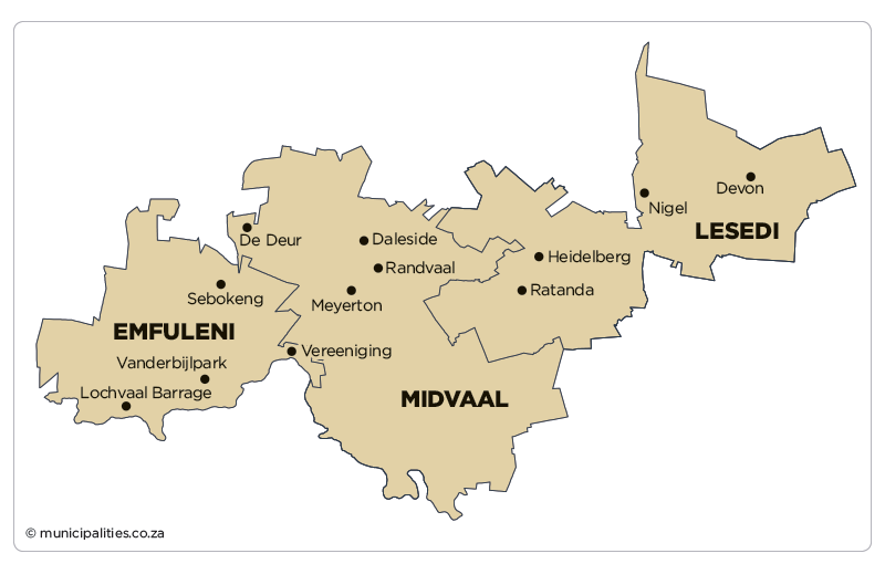
Description: The Lesedi Local Municipality is a Category B municipality situated in the Sedibeng District in the Gauteng Province. It is one of three municipalities in the district, making up over a third of its geographical area.
It can be described primarily as a rural, agricultural area. It is situated approximately 56km south-east of Johannesburg and is traversed by two national roads (the N17 and the N3), which creates future economic development potential.
Devon/Impumelelo, situated on the eastern edge of the municipal area abutting the N17 freeway on the north, is a significant rural settlement, while Vischkuil/Endicott, lying east of Springs and abutting Provincial Route R29, is a smaller rural centre.
The major urban concentration is located in Heidelberg/Ratanda, situated along the N3 freeway where it intersects with Provincial Route R42, east of the Suikerbosrand Nature Reserve.
Area: 1 484km²
Cities/Towns: Devon, Heidelberg, Nigel, Vischkuil
Main Economic Sectors: Manufacturing (38.8%), community services (29.4%), financial services (18.6%)