
Geography, History & Economy
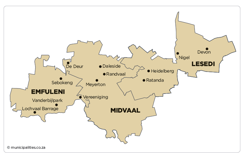
Emfuleni Local Municipality is part of Sedibeng District Municipality
MDB code: GT421
Description: The Emfuleni Local Municipality is a Category B municipality situated in the Sedibeng District in the Gauteng Province. It is the westernmost local municipality of the district, which covers the entire southern area of the Gauteng Province, extending along a 120km axis from east to west.
The Vaal River forms the southern boundary. Emfuleni shares boundaries with the City of Johannesburg Metro to the north, Metsimaholo in the Free State to the south, Midvaal to the east, and Rand West City and JB Marks (in the North West Province) to the west.
The Emfuleni Local Municipality is rich in history as it encapsulates the Anglo-Boer War, with heritage assets such as the Sharpeville monument and the liberation struggle epitomised by the signing of the Constitution in 1996 in Sharpeville.
The municipality is strategically located, with access to a well-maintained road network – the N1 linking Johannesburg and Bloemfontein, and traversing Emfuleni. Sasolburg forms the heartland of what was formerly known as the Vaal Triangle, renowned for its contribution to the iron and steel industry in South Africa. Its location also affords it many opportunities for tourism and other forms of economic development.
Area: 966km²
Cities/Towns: Evaton, Sebokeng, Vaal Oewer, Vanderbijlpark, Vereeniging
Main Economic Sectors: Manufacturing (40.8%), community services (22.3%), finance (16%), trade (7.4%), transport (4.4%), construction (3.5%), electricity (3.3%)